
Trip Report: Backpacking the Escalante Route in Grand Canyon National Park
Description: Escalante Route via Lipan Point & exiting via Grandview Trail (GPS Track)
Dates: March 13th - 17th, 2020
Total Miles: 36.5
After studying weeks for my STEP 1 board exam I was ready to return to nature & embark on a warm desert adventure, or so I hoped. The Grand Canyon has always held a special place in my heart after doing a 27-day solo kayak journey through the canyon in 2014, and backpacking seemed like the perfect way to experience a new side of the canyon with just a little less free time.
I knew relatively little about piecing together a backpacking trip in the canyon, aside from the fact that permits were relatively competitive. I came across a few Escalante Route trip reports, and both the style & mileage of the trip seemed to fit my goals well. It seems the NPS makes planning information a little hard to piece together, likely to deter hikers without sufficient experience. My girlfriend & I called in a month before our March departure date, and it took a creative mix of camps & signing a waiver that our route was an “Aggressive Itinerary”, but we were permitted!
Planning Notes
We quickly were reminded that the first rule of the Grand Canyon is to be prepared for anything. We camped just outside the park the first night and had an intense thunderstorm with tent flooding followed by 2” of snow. Luckily the weather steadily improved and the rest of the trip was very enjoyable & dry. That being said, always plan for hot, cold, and precipitation.
The NPS also advertises rentals of Outsack mesh bags for food-storage from critters, but they charge $8/day from the Market Plaza, and didn’t even have any for sale when we were there. I’d suggest buying one ahead of time to save some money, and they’re useful piece of gear for critters on all types of trips.
*Note that the mileage differs between the Gaia maps & NPS literature. Distances below are from NPS data, and seemed to be more accurate.
Day 1 – Lipan Point to Cardenas (12 miles)
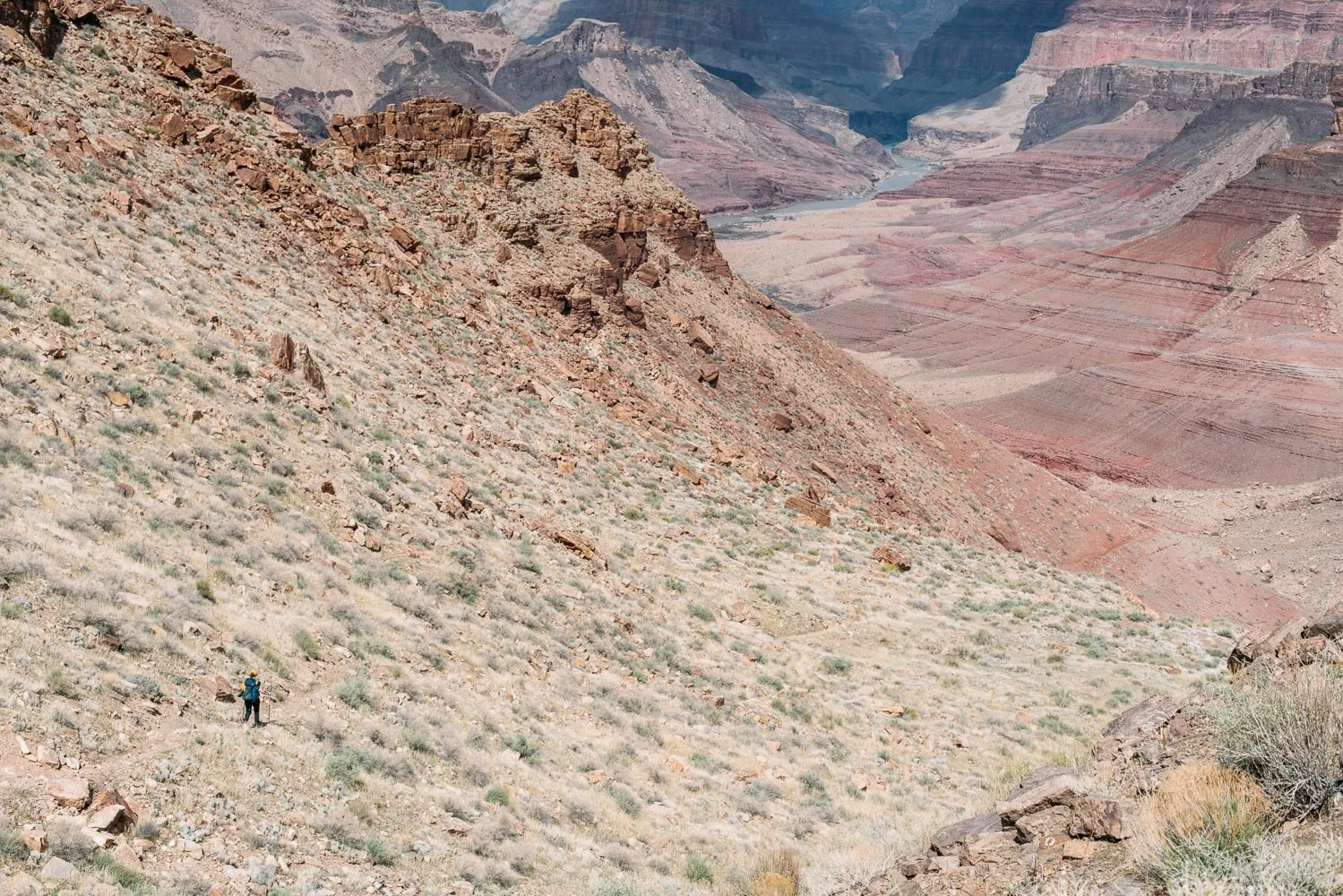
We knew this was going to be one of the most punishing days, so we got off to an early start at Lipan Point. The well-worn Tanner trail starts just down the road from the viewpoint and quickly starts a steep, switchbacked descent with a bit of snow & ice. Early on you’ll notice the Desert View Watchtower on your right. Keep an eye out for it the rest of the trip, it truly is omnipresent throughout the hike.
The Tanner trail consists of two steep descents separated by about 2.5 miles of flatter gradient. In total the trail drops around 6,200 feet, so it’s certainly punishing on the knees. The river starts to come into view about halfway through the hike, and the emerald ribbon of water seems both tantalizingly close but also so distant.
Descending the Tanner Trail with the Colorado River in sight.
We surprised ourselves by getting down to river level at Tanner Rapids in just 5 hours. From there it seemed like an easy stroll to Cardenas, but it took around 2 hours as we skirted behind the large sandy beach and paralleled the river to Cardenas Creek. This is a popular rafting camp with a nice beach and numerous campsites tucked behind.
Day 2 – Cardenas to 75 Mile Canyon (7 miles)
Following the first day our calves were pretty sore, but we were excited to experience the bulk of the Escalante route as we paralleled the river to Seventyfive Mile Creek. This section of trail quickly left the river, and led to a sheer cliff high above Unkar Rapids. From here the trail left the river and gradually gained elevation as we crossed large boulder fields & traversed tight, loose trail with significant exposure. We caught glimpses of the river now and again before descending down into Escalante Creek and following the creekbed to the river. There wasn’t any dependable water between the river at Cardenas and Escalante, so make sure to stock up for a hot, exposed day.

Peering down at Unkar Rapids from an overlook on the Escalante Trail.
We were excited to see the backlit waves of 75 mile rapids just a stone’s throw downstream, as we dreamed about an early camp. Our hopes were quickly dashed though when we realized we had to do a 1 mile loop up & down 75 Mile Creek to gain access to the river again. 75 Mile Canyon is stunning inside, and walking between the giant slotted walls was certainly one of the best parts of the trip. Multiple open beaches line the shore of 75 mile rapid.
Day 3 – 75 Mile to Hance (2 miles)
This was by far the most technical day, but with the low mileage we were still at camp by lunch. We elected to choose the low route, following a river-level trail to the lower beach at 75 mile and then traversing the rock slabs before Papago Canyon on a moderately well marked trail. The low route offered ample shade and also seemed less strenuous than taking the high route from 75 mile (as shown on the GPS track).
Papago Canyon was by far the most technical portion of the trip and requires scaling a 20-30 foot wall with solid ledges & grips, followed by descending a large rockslide back down to river level. Plan to do this section in the daylight. The wall climb, directly visible from the bottom of Papago Creek, is very exposed, but doesn’t require any technical gear. I’d recommend scaling the wall without a pack to find a suitable route, and then giving it a go with your gear. There’s also a large ledge in the middle crux where a pack can be passed on to someone above. Here’s a good video of the climb for reference.

Taking in the view from the top of the Papago wall with the lower 75 mile camp in the background.
After scaling the wall we climbed up a steep trail with a little exposure before getting to the rockslide. The slide is very impressive when viewed from the top, but it is easily broken down into manageable sections. Make sure to do it one at a time to avoid rockfall injuries. Once down the rockslide we caught a glimpse of the top of Hance & proceeded to follow the shoreline trail to camp.

Carefully picking our way down the top section of the Papago slide.
Day 4 – Hance to Cottonwood Creek (11 miles)
This was one of our longer days, and on the ranger’s advice we decided to follow the Tonto Trail up Cottonwood Creek since it was a flatter, albeit longer route to camp.* The Tonto Trail gradually climbed from the river and then leveled off as we approached a Hance Canyon, which is unmistakably large. We walked along the rim with occasional views of the bottom until we spotted cottonwoods lining the bank of Hance Creek. The shade & cool water were a welcome respite from the heat.
*One could also climb to Horseshoe Mesa from Hance Creek and then descend to Cottonwood, but in that case you’re trading a bit of mileage for a very steep ascent & descent. Pick your poison.

Cottonwoods and the gurgle of cool water were welcome sights at Hance Creek.
From Hance Creek we followed the Tonto Trail as we traversed around the bottom of Horseshoe Mesa. This section was particularly arid & desolate, with a few scattered campsites for the masochistic hikers who enjoy dry campsites. Soon enough we reached a canyon with cottonwoods and crossed a small waterfall to the other side of the creek as we searched for camp. A number of small options exist in the canyon here, but it looks like a prior flash flood mangled some of the trees in the area. Further upstream there’s evidence of fire along the creek, so beware of deadfall.
Day 5 – Cottonwood Creek to Grandview Point (4.5 miles)
The last day was short, but it certainly packed in continuous vertical with around 4,600 ft. of ascent. The trail followed Cottonwood Creek and soon opened up into expansive views followed by two lung busting switchback sections that bring you to the top of Horseshoe Mesa. We started to see day hikers around here, which meant we were close to the exit at Grandview Point, but it was still a good ways away. The last few miles of this trail consisted of answering day hiker’s questions of “how long to the bottom?”, soaking in our last views of the canyon, and wondering ourselves where this trail goes & wondering at how steep it was.

The view down Cottonwood Creek from high above on the Grandview Trail.
Bottom Line
The Escalante Route is reportedly one of the more difficult, non-technical routes in the Grand Canyon, but it offers a sampling platter for all the Canyon has to offer. It gives you a nice feel for the topography of hiking both near the river as well as through the exposed rock & side canyons that feed into it. There are significant sections of exposure as well as the rock wall at Papago, so be prepared for those sections to be the crux of the trip. Typically hikers will exit this route via New Hance Trail, but exiting via Tonto & Grandview gave us an additional night of camping and let us take in the landscape around Horseshoe Mesa.